중국 드론 발견으로 아시아의 해저 보안 경쟁에 초점 집중
Chinese drone discovery sharpens focus on Asia’s undersea security race
South China Morning Post
· 🇭🇰 Hong Kong, HK
Biman Mukherji
EN
2026-04-24 20:27
Translated
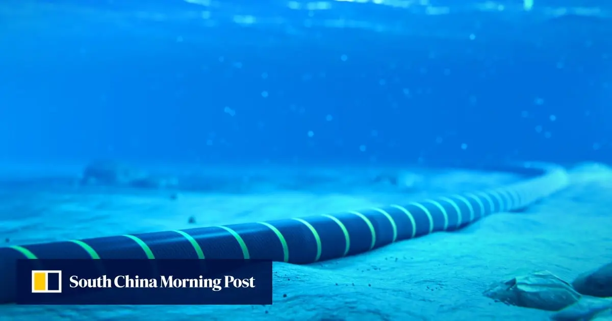
이번 달 인도네시아 해역에서 인양된 중국 무인 수중 드론이 남아시아와 동남아시아 전역에서 수년에 걸쳐 진행되어온 보안 경쟁에 대한 글로벌 관심을 높였다: 해저 감시. 어뢰 모양의 장치는 태평양과 인도양 사이를 잠수함이 수중에서 통과할 수 있는 몇 안 되는 심해 해협 중 하나인 롬복 해협 근처에서 발견되었으며, 이 해협은 미국과 호주가 긴밀히 감시하고 있는 통로다. 베이징은 이 사건에 대한 구체적인 세부사항이 없다고 밝혔지만, 중국이 국제법에 따라 해양 과학 조사를 수행하고 있으며 고장이나 다른 이유로 인해 이러한 장비가 다른 국가의 해역으로 표류할 수 있다고 언급했다.
전문가들은 인도가 해저 감시 강화에서 '꾸준한 추격'을 하고 있으며, 동남아시아 국가들의 역량은 큰 편차를 보이고 있다고 말한다.
어뢰 모양의 장치는 태평양과 인도양 사이를 잠수함이 수중에서 통과할 수 있는 몇 안 되는 심해 해협 중 하나인 롬복 해협 근처에서 발견되었으며, 이 해협은 미국과 호주가 긴밀히 감시하고 있는 통로다.
베이징은 이 사건에 대한 구체적인 세부사항이 없다고 밝혔지만, 중국이 국제법에 따라 해양 과학 조사를 수행하고 있으며 고장이나 다른 이유로 인해 이러한 장비가 다른 국가의 해역으로 표류할 수 있다고 언급했다.
전문가들에 따르면 이러한 장치들은 해저를 지도화하고, 해양학 데이터를 수집하며, 해군 교통을 감시하고, 위기 상황에서 중요할 수 있는 항로나 인프라를 파악하는 데 사용될 수 있다고 말했다.
이란과의 전쟁으로 인한 호르무즈 해협 주변의 혼란이 주요 해로 매핑 및 모니터링의 전략적 중요성을 강조함에 따라 이러한 우려는 더욱 심화될 가능성이 높다.
남아시아와 동남아시아 국가들은 인도양에서의 증가하는 중국 해군 및 해저 확장, 남중국해의 긴장, 인도태평양 지역의 해군 경쟁에 뿌리를 두고 있는 해저 문제에 수년간 직면해왔다.
처리 완료
2,397 tokens · $0.0068
기사 수집 완료 · 20:35
매체 피드에서 기사 메타데이터 수집
헤드라인 번역 완료 · 20:41
제목/요약 한국어 번역 (fetch 시점 inline)
claude-haiku-4-5-20251001
445 tokens
$0.00126
3.5s
본문 추출 완료
1,247자 추출 완료
본문 한국어 번역 완료 · 20:41
598자 번역 완료
claude-haiku-4-5-20251001
1,952 tokens
$0.00551
9.1s
지정학적 엔티티 추출 완료 · 20:41
8개 엔티티 추출 완료
지정학적 맥락 & R-Scanner
R-Scanner · 상승
z=0.95
평소보다 보도량이 증가 추세 — 기준: Lombok Strait
(🇮🇩 ID)
최근 6시간 1건
7일 평균 0.04건 / 6h
1개국 매체
1개 매체
본문에서 추출된 지명 (8)
Lombok Strait
🇮🇩
Indonesia
🇮🇩
China
🇨🇳
Pacific Ocean
Indian Ocean
South China Sea
Strait of Hormuz
🇮🇷
Indo-Pacific region
🇨🇳
위치 지도
지도 로딩 중…
A suspected Chinese underwater drone hauled out of Indonesian waters this month has sharpened global focus on a security race that analysts say has been years in the making across South and Southeast Asia: undersea surveillance. The torpedo-shaped device was found near the Lombok Strait, one of the few deepwater channels through which submarines can transit submerged between the Pacific and Indian oceans and a passage closely watched by the United States and Australia. Beijing said it did not...
Experts say India is playing ‘steady catch-up’ in boosting undersea surveillance, while Southeast Asian nations’ capabilities differ widelyThe torpedo-shaped device was found near the Lombok Strait, one of the few deepwater channels through which submarines can transit submerged between the Pacific and Indian oceans and a passage closely watched by the United States and Australia.
Beijing said it did not have specific details on the case but noted that China conducted marine scientific research in accordance with international law and such equipment could drift into other countries’ waters due to malfunctions or other reasons.
Such devices could be used to map the seabed, collect oceanographic data, monitor naval traffic and identify routes or infrastructure that could matter in a crisis, analysts said.
Those concerns are likely to intensify as disruption around the Strait of Hormuz amid the war with Iran underscores the strategic importance of mapping and monitoring key waterways.
South and Southeast Asian countries have faced such undersea challenges for several years, rooted in growing Chinese naval and undersea expansion in the Indian Ocean, tensions in the South China Sea and naval rivalry in the Indo-Pacific region.